Iwi, hapū
Ngāi Tahu Whānui are the iwi who hold manawhenua over a large proportion of Te Waipounamu – the South Island.
Te Taumutu Rūnunga represents the hapū of our local area, and is part of Ngāi Tahu.
Te Taumutu Rūnanga is recognised as the kaitiaki, guardian, of Te Kura o te Tauawa, Halswell School.
Our Cultural Narrative
Our cultural narrative was gifted to the school by Te Taumutu Rūnanga when the school was rebuilt in 2015 after the Christchurch Earthquakes. Below are the names of our buildings and the significance they held for our kura.
Our school’s Te Reo Māori name is Te Kura o Te Tauawa, a shortened version of Te Kura o Te Tauawa a Maka. Te Tauawa a Maka is the traditional name for Nottingham Street. Te Tauawa a Maka is a tributary of the Huritini Awa (Halswell River) and Te Waihora (Lake Ellesmere).
Ahuriri
The New Entrant studio is named after a significant lagoon that was situated in the low-lying land just north of modern-day Motukarara in the lower Huritini/Halswell River that was a major mahinga kai, food source.
This swampy area was drained in the past. Plans are now underway to restore the lagoon and wetlands by Environment Canterbury, working in partnership with Ngāi Tahu and the wider community.
The best comparative local features are the Quarry Ponds close to Kennedys Bush Road.
Therefore as a studio Ahuriri connects with the following:
Landscape Feature: Ahuriri Lagoon (Repo/Wetland)
Colour: Waiporoporo, Purple
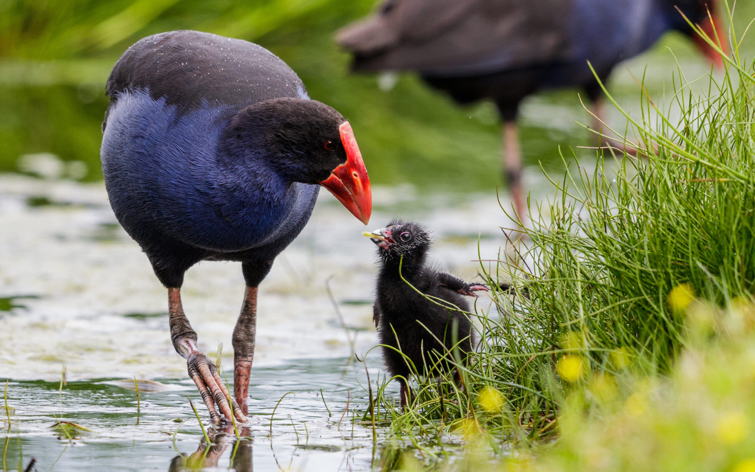
Creature: Pākura (Pūkeko) Pākura, Swamp Hen
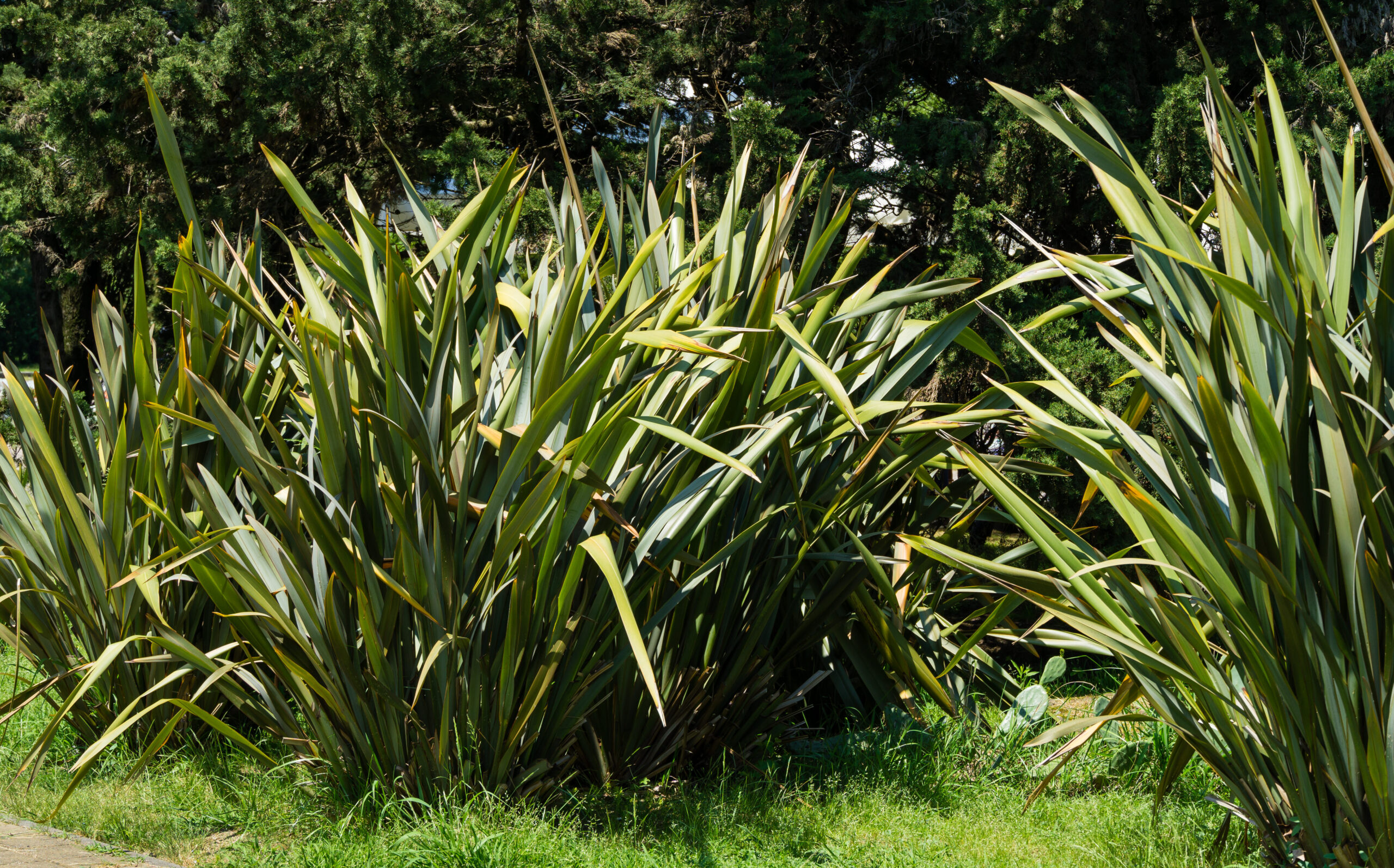
Plant: Raupō, Bulrush

Huritini
Huritini is named after the part of the Halswell River that is known as a food gathering place for tuna (eel), manu (birds / waterfowl), korari (stalks of the flax) and kōareare (raupō/bulrush). A significant feature are the many river bends on this section of awa, river.
Huritini/ Halswell River (including Te Tauawa-a-Maka/Nottingham Stream) is a tributary of Te Waihora/Lake Ellesmere and historically an important food source. It is now also important for linking urban Christchurch City with the lake.
The Huritini studio connects to:

Landscape Feature: Halswell River
Colour: Kahurangi, Blue
Creature: Whio, Blue Duck
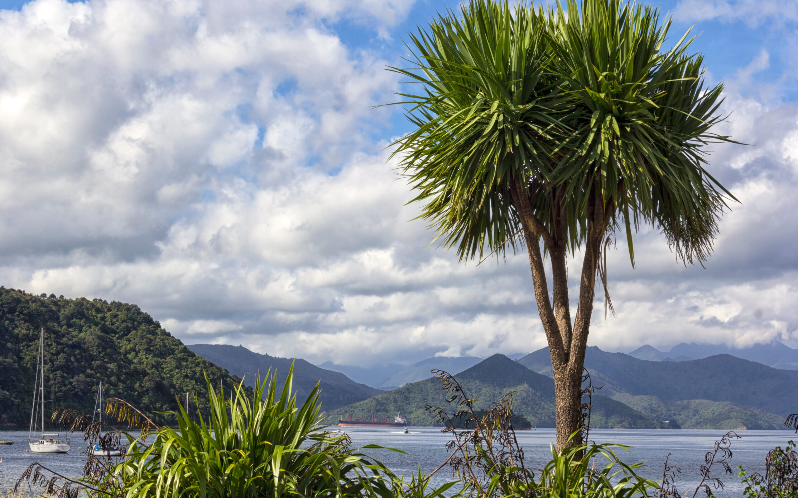
Plant: Ti Kouka, Cabbage Tree
Ōrongomai
Ōrongomai studio is connected to the Ōrongomai and Kennedy’s Bush forest areas. These important remnants of native forest provide valuable habitat for native birds and insects.
The regenerating bush at Halswell Quarry, along the Huritini, Halswell, river and planting within the school grounds contributes to bringing native birds like kōparapara/bellbirds, tauhou/silvereyes and pīwaiwaka/fantails down to the houses and areas around the school. There is potential that tūī and kererū can also be attracted down to the School/ community over time with the provision of the right food species.
The Ōrongomai studio has a special relationship with:

Landscape Feature: Cass Peak/Kennedys Bush (Ngāhere/Forest)
Colour: Kakariki / Green
Creature: Kūkūpā/Kererū, Wood pigeon
Plant: Tōtara (Podocarpus totara)
Ōtāwhito
The Ōtāwhito studio is named for the Hendersons Basin and Cashmere Stream. Ōtāwhito was significant wetland situated at the base of the hills from below the Quarry across to Westmorland. It drained into the Cashmere Stream, and then flowed into the Ōpāwaho/Heathcote River.
This area was a significant mahinga kai, food source, site for Ngāi Tahu. It was particularly known for tuna (eel), manu (birds) including pūtakitaki (paradise duck), pārera (grey duck), raipō (black teal/scaup), pākura (pūkeko/swamp hen), tātā (brown duck), aruhe (fernroot), tutu (coriaria), kōareare (raupō/bulrush) and korari (flax flowers/stalks).
The Ōtāwhito studio has a special connection with the following:
Landscape Feature: Halswell Quarry/Henderson’s Basin (Whakapai kōhatu/ Quarry) Colour: Karaka /Orange
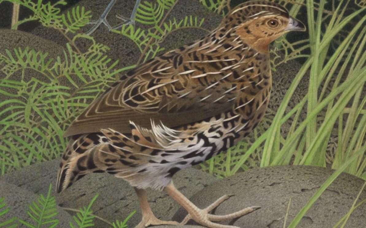
Creature: Koreke (NZ Quail)
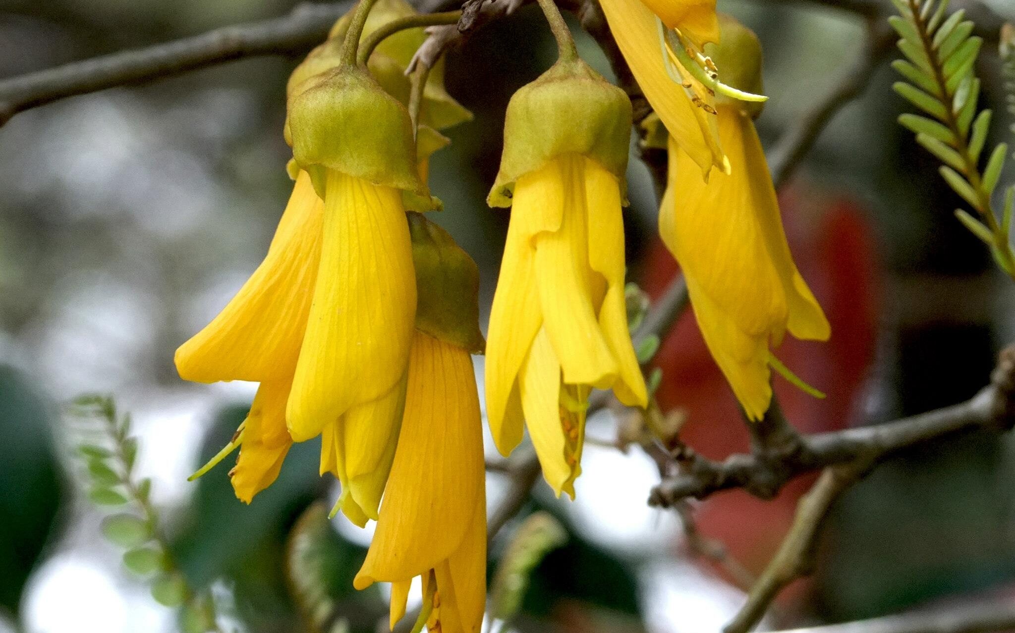
Plant: Kōwhai (Sophora prostrata)
Ōtūmatua
Ōtūmatua is a significant hillock located on the ridge above the Halswell Quarry leading up to Kennedy’s Bush. Looking up past the quarry from the school you can see this knoll.
Ōtūmatua is considered a wāhi tapu by Ngāi Tahu (sacred place) and previously had a tūahu (alter) located on top that was used as a place to forecast the weather. From Ōtūmatua, clear views of Te Waihora/Lake Ellesmere, Kā Pākihi Whakatekateka o Waitaha/the Canterbury Plains, Kā Tiritiri o te Moana/Southern Alps and Te Tai o Mahaanui / Pegasus Bight can be seen, including most importantly the key settlements of Kaiapoi in the north and Taumutu in the south. On a clear day, views of the Kaikōura ranges are also possible.
Ōtūmatua studio is linked to:
Landscape Feature: Kitchener’s Knoll (Ahi Tipua / Maunga / Volcano)
Colour: Whero / Red
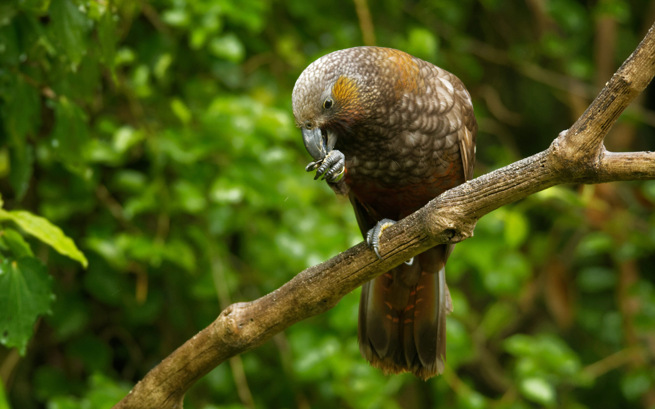
Creature: Kākā (Bush Parrot)
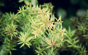
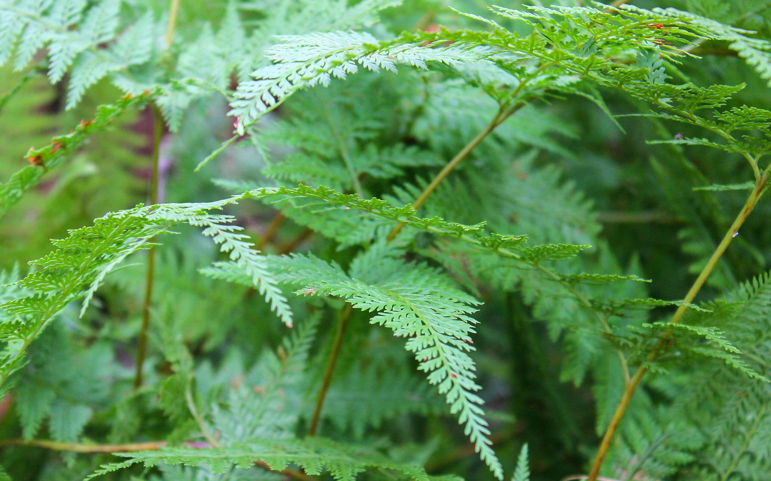
Plant: Aruhe (Bracken Fern, Pteridium esculentum)
Other Buildings
Stadium / Library
Te Pā (Harakeke) The flax bush (harakeke) represents the family. The new leaf at its centre is the child, and leaves on the outside are older relatives.
Admin / Staff Lounge
Te Rito (o te Harakeke) variety of harakeke.
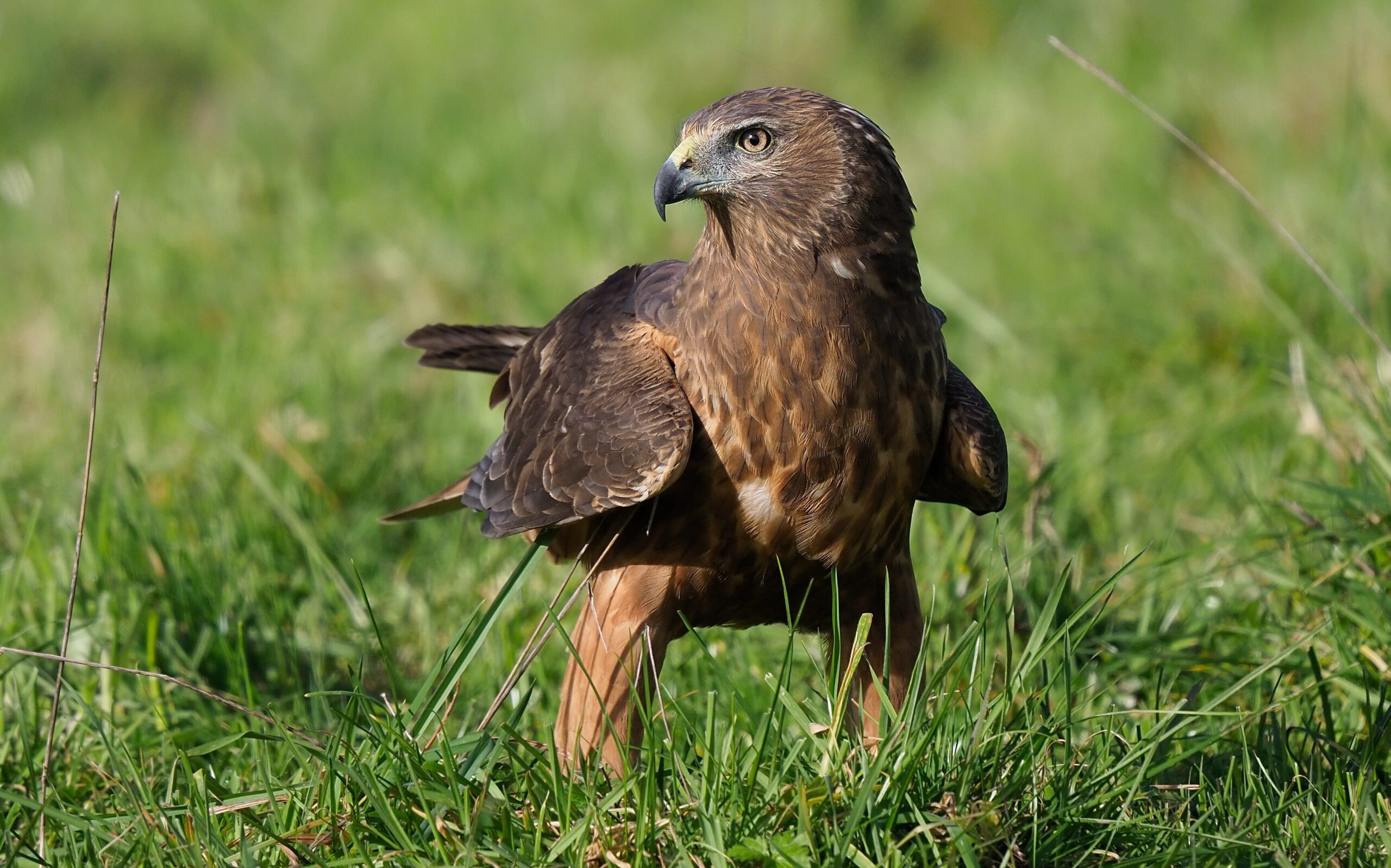
Kāhu
Swamp harrier. Also means to germinate, grow, sprout.